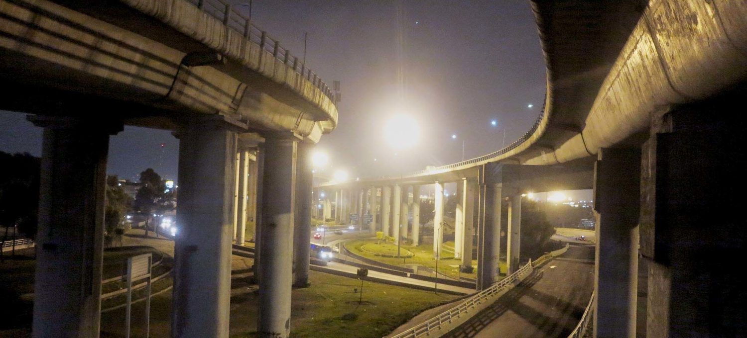
Practically everything in Mexico City came from somewhere else. The only resource really produced locally is human beings. So the city must be porous to survive. The edge of the city is where these passages of matter into and out of the city are easiest to identify. These points are also where the city’s greatest vulnerabilities lie. These pores are how the city breathes, when they cease to function the city chokes.
Gran Canal – Ecatepec
Once 40 creeks and small rivers ran down the hills into the lakes of the Valley of Mexico. They still exist hidden in concrete tunnels. Twenty-three of these rivers come from the west, we here there is water and wealth. Only eight come in from the east where it is dry and poor. Most of the rest flow into the city from the south. Since the city is a basin the water must be assisted in leaving before it makes itself at home and forms a lake in the teeming streets.
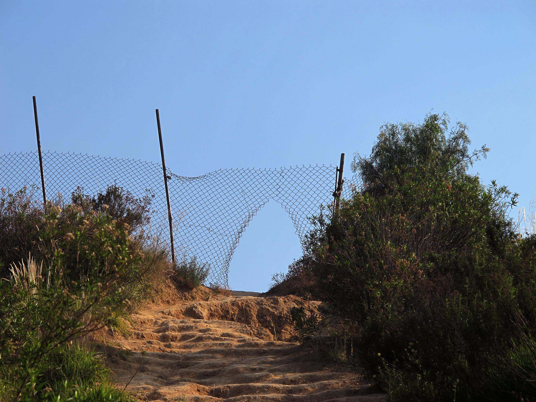
There two ways for all this water to leave the basin of Mexico. One is by way of the underground tunnels of the deep drainage system leaving through Nochistengo in the north of the Valley. The second is partially over the surface by way of the Gran Canal, the great drainage canal finished in 1900 under the watchful eye of president Porfirio Diaz.
The great canal is primarily used in the dry season while the deep drainage system is closed for maintenance. The canal has lost a great deal of its carrying capacity because where it once relied on gravity to bring water out of the city, the sinking of the city has changed the gradient and now to operate at full capacity the water must be pumped onwards.

As it leaves the city the great canal seems almost a canyon with its high embankments and the slow sludge bubbling through it. One of the great problems of water in Mexico City is that rainwater and sewage water are lumped together in the drainage system, polluting the rainwater when it touches the ground.
The black water of the Great Canal is a symbol of the harrowing inefficiency of water management in Mexico, water being pumped out of a city with a water shortage.
Highway exit Puebla
Mexico City is an exception among the world’s megalopolis for being land-locked, far from the ocean. That means that practically everything one sees was brought here either by rail, or by highway or by airport. Of these three ways of entering the city far and away the most important one are the five toll highways, going to Pachuca and Queretaro in the north, Toluca in west, Cuernavaca in the South and Puebla in the South-East. And shipping from China comes in over the Mexico-Queretaro highway. Imports from the east of the United States enter over the Mexico Pachuca highway.
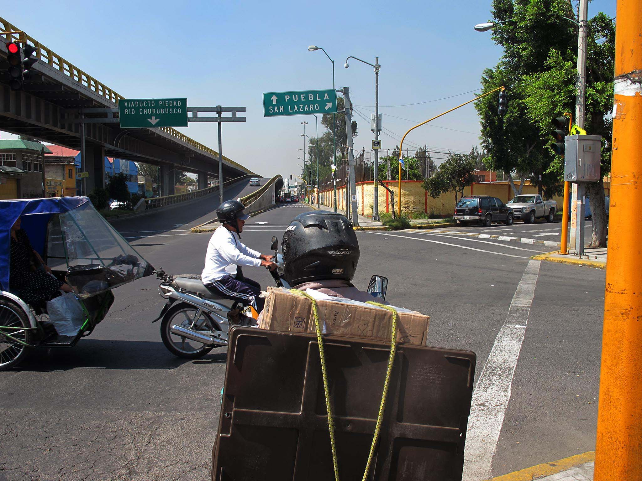
The highway to Puebla has the greatest amount of traffic. Shipping from the port of Veracruz runs over the Mexico-Puebla Highway. And on the flat lakebeds to the Souteast great settlements have sprung up, such as Ciudad Nezahualcoyotl, Valle de Chalco, Chalco and Iztapaluca.
These toll-highways run parallel to older freeways heading out of the city. While to toll highways cut vast swathes through the urban fabric, freeways in the city become principle avenues offering ostensibly easy access to the city center. In the case of the Mexico-Puebla freeway its extension, the Avenida Ignacio Zaragoza, leads to the city center, surrounded by the last 50 years worth of urban sprawl and informal settlements.

And the point of entry of a highway in to the city is always a place of economic opportunity because it is the point of entry of everyone living in the countryside. Naturally it is good to be first auto repair shop or pharmacy coming into the city. The edge of the city is the last place where trucks can parked easily before entering Mexico City. And if you are leaving the city to head up the windy mountainous freeway to Puebla, the edge of the city in Iztapaluca is also where you might want your brakes checked. Where a freeway leaves the city it generates economic activity, which in turn drives further growth of the edge of the city.
38. Railway entry Lecheria
On the edge of the city sometimes you hear the foghorn cry of trains as they crawling through the periphery. Tracks leave the city from Valle de Chalco, Ecatepèc, Tultitlan and Cuautitlan Izcalli. The central cargo station Pantaco where all the lines meet is in Azcapotzalco. There are no active tracks on the southwest of the city, since the railway line to Cuernavaca was converted into a bicycle path and the connection Mexico City-Acapulco by rail was never made.
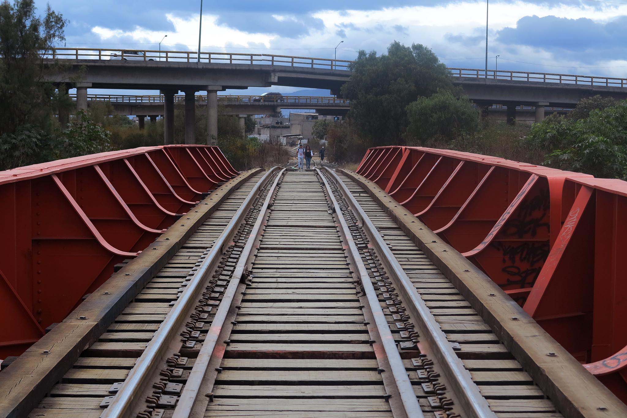
Two companies control cargo by rail in Mexico, Ferromex and Ferrosur. Within the city, Ferrovalle, a company jointly owned by these two retains the concession, since all railways lines must go into Mexico City to interconnect. The tracks cut strange curves through the city-scape. The cargo station at Pantaco with its piles of containers forms the heart of the city’s rail activities.
Just north of Pantaco lies Lecheria. Here Central American migrants trying to board the cargo trains wait among the tracks. Urbanistas a neighborhood just above the tracks on a hillside in the Sierra de Guadalupe has a very bad reputation. Further down the tracks the old social housing units of Cuautitlán are rife with cholo gang graffiti. The slow-moving trains shuffled between tracks close to the yards somehow seem to attract trouble.
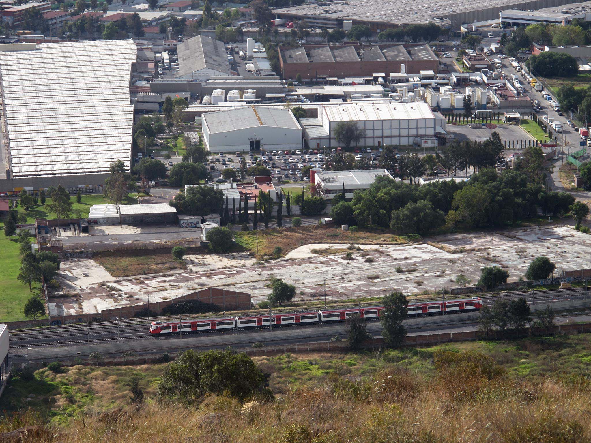
Maiz and cement are the main products shipped into Mexico City by rail. The trains also carry many empty, unloaded, containers back to the ports and into the vast global shipping networks. This last role is important in a country which imports more than it exports.
Airport
Mexico city is one of the few places where you can see where you are by looking at the airplanes, one lands practically every minute. If they are flying high and straight you are in the north of the city. If they are descending along a curve than you are in the south. And if they are roaring just above your head they are in the east. Benito Juarez International Airport lies between the Lake of Texcoco and Mexico City.
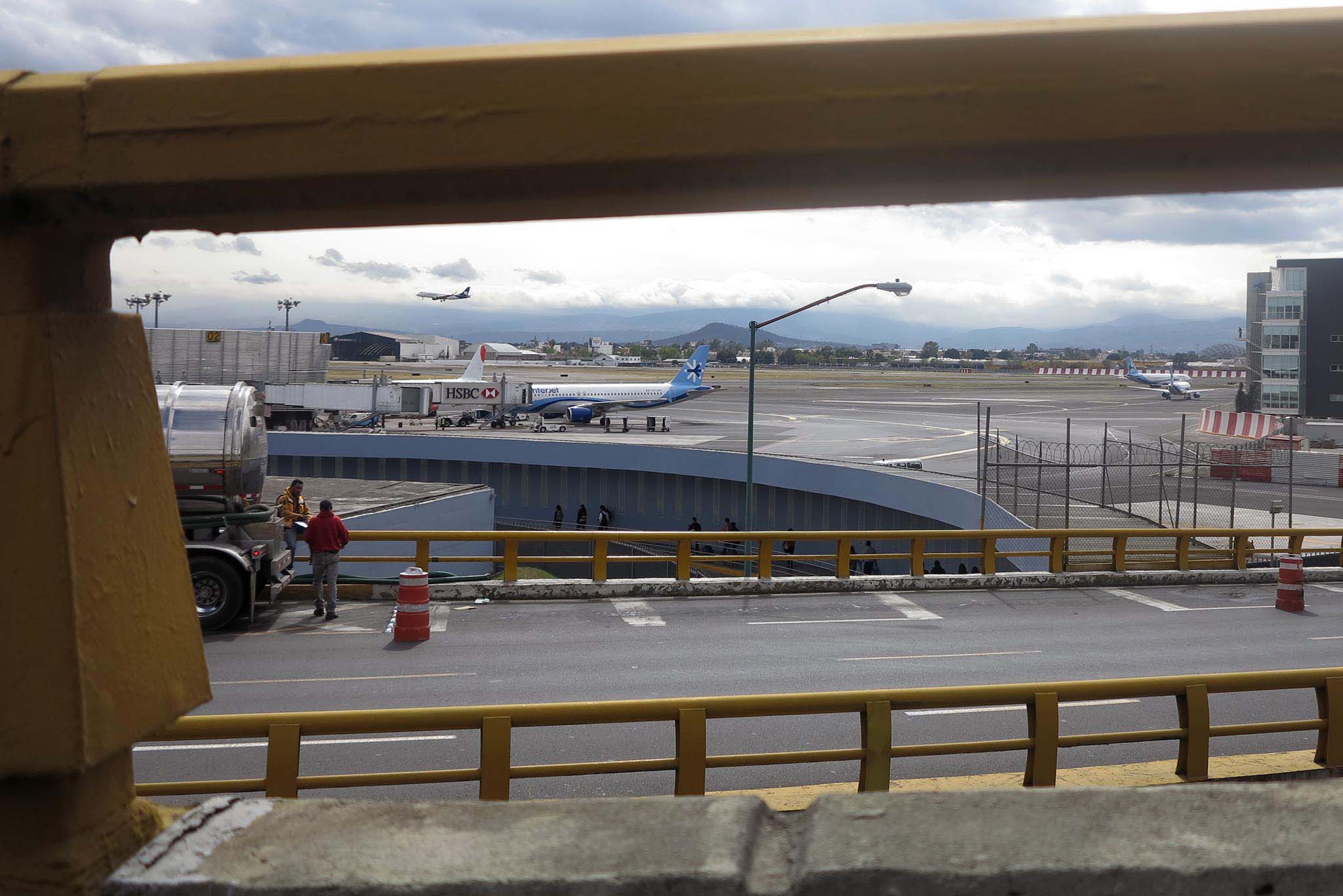
The main international passenger routes for this airport are Los Angeles-Mexico City and Miami-Mexico City. Domestically its principle destinations are Cancun, Monterrey and Guadalara. The airport itself hosts more than 26 million passengers a year, 33% of all passengers in Mexico.
But more than passengers it is cargo which impacts the landscape around the airport. Of all the airfreight in Mexico 52% goes through the airport. The landscape around the airport is covered with warehouses for airfreight and the offices of freight forwarders and customs brokers.
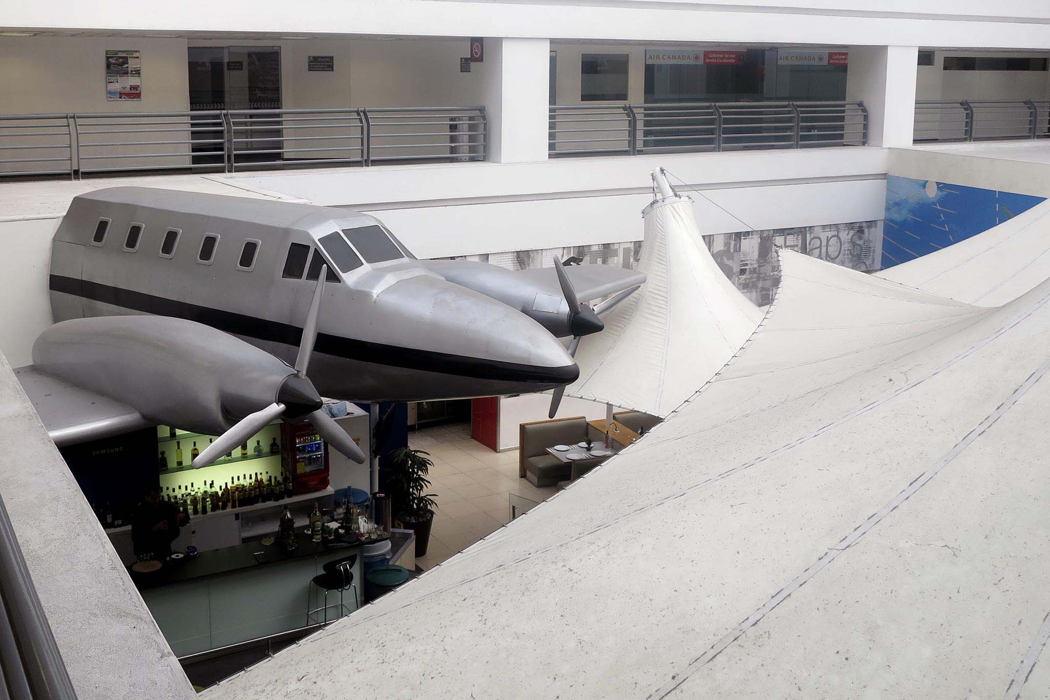
The neighborhoods crowded around the airport’s high fences have bad reputations, somehow the airport seems to give them something vaguely cosmopolitan. The hill of Peñon de los Baños, once home to a renowned spa, lies next to the terminals. Peñon de los Baños itself is known as a point of origin of the sonideros, the sound system disk jockeys who brought the Peruvian cumbia to Mexico, brought in through the airport on vinyl disks in the 70s.
Energy – Acolman
Typical of Mexico City’s urban landscape are the huge swathes cut through the city by rows of electricity towers and the empty spaces under them. The space carved out by the towers, disappearing in the distance as they cross the city, is often the site of markets, or playgrounds, or they are accompanied by avenues, inevitable known as Avenida de las Torres. The buzzing towers overlook lost spaces, adapted by communities to serve any purpose which does not require permanent structures. Land-invasion rarely takes place showing the effectiveness of the prohibition of building under the towers.
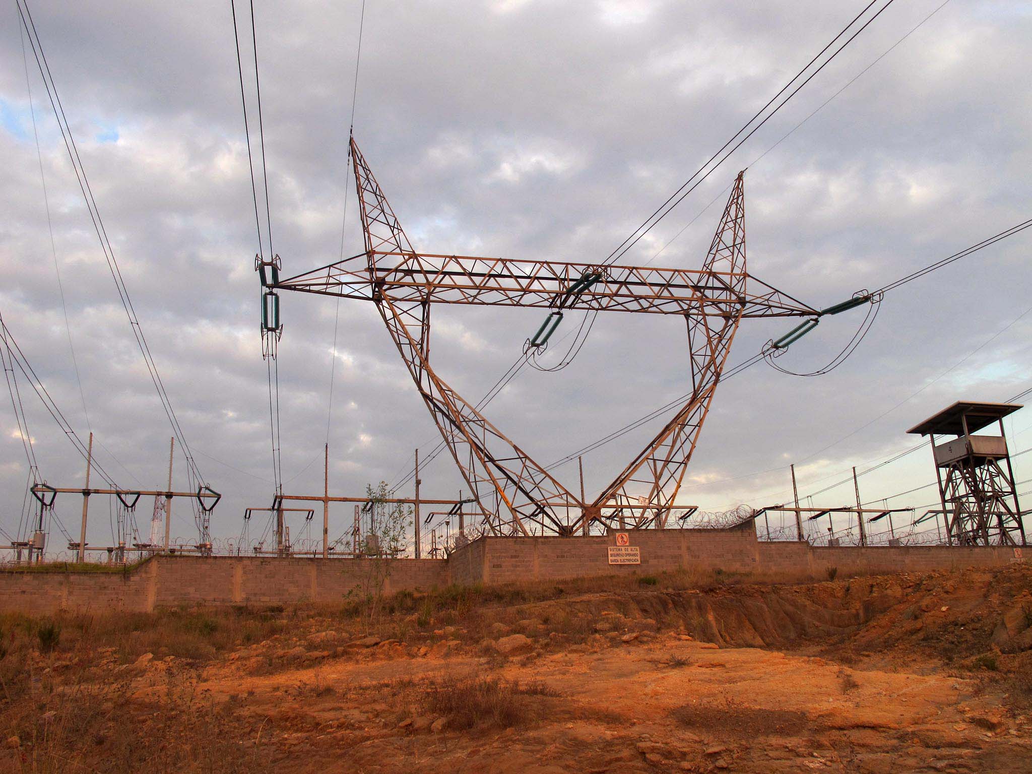
Yet the law has its limits and some estimates indicate that there are over one million illegal connections in Mexico City, 15% in informal settlements. Electricity is tapped off from the wires. This also means that informal settlements must be close to electricity cables if they wish to have access to lighting and the use of appliances. Tangled webs of jimmy-rigged electricity wiring are a common site on the edge of the city.
Mexico City consumes a lot of electricity, 70% of which comes from outside of the city. The principle use of electricity is refrigeration (22%), followed by air conditioning (15%), lighting (15%) and television (10%). Of the energy used in Mexico City households, not including transport, 49% is electricity and 51% is gas, most of which is used for cooking. Electricity use by households is dwarfed by the use of energy by the transportation sector accounting for half of the megalopolis’ energy use.
Mexico city’s first experiment with electricity was held with the installation of two lights in the Zocalo in 1880. Now millions sparkle like an infinite carpet of stars flowing through the Valley of Mexico. It is easier to see the city’s edge at night.
